
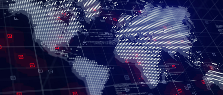
Maps are far more than directional tools; they are visual representations of power, identity, and perception. Beyond their geographical function, maps have played a significant role throughout history in shaping political boundaries and influencing cultural narratives. From colonial cartography that defined empires to modern digital maps that affect geopolitical debates, the way we draw and […]
Chances are you’ve used GPS today without even realizing it. Whether checking traffic before leaving home or using a map and direction tool in your browser, GPS has become so embedded in our online navigation experience that we seldom stop to think about how it actually works. If you’ve ever wondered what makes that blue […]
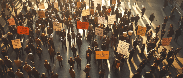
In a world increasingly shaped by geopolitics, political maps provide more than just a glance at national boundaries—they tell a story of history, power, and identity. Whether you’re a globe-trotting traveler, a student of world affairs, or someone simply curious about international relations, understanding political maps is key to navigating both geography and global dynamics. […]
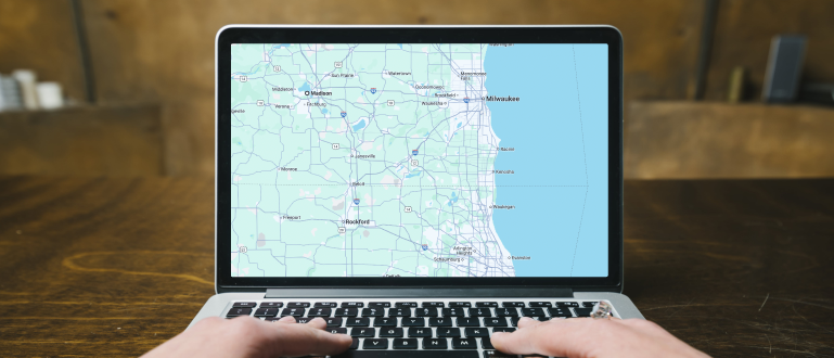
Digital maps have come a long way from static displays of roads and landmarks. What was once a simple navigation aid has transformed into a powerful, interactive tool used across countless industries—from travel and logistics to urban planning and disaster response. But what exactly sets modern digital maps apart from their traditional counterparts? In this […]
Maps have always played a crucial role in helping humans understand the world around them. From the earliest hand-drawn depictions of the stars to modern satellite imaging, maps have evolved into powerful tools for scientific discovery. In today’s research landscape, maps are far more than just representations of geography—they are essential instruments across various scientific […]
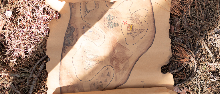
When most people think of maps, they picture something practical—navigating cities, tracking routes, or studying geography. But maps have an adventurous side too. For centuries, they’ve stirred imaginations, led explorers to hidden places, and sparked the thrill of the hunt. From pirate treasure maps to modern geocaching, maps have played a central role in some […]
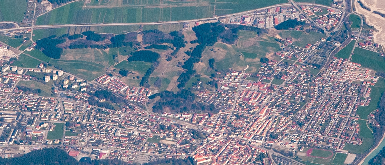
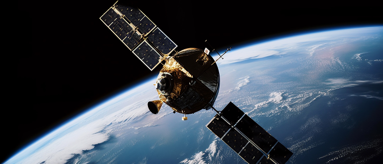
Satellite maps have revolutionized the way we view and understand our planet. From navigation to environmental monitoring, these high-tech tools offer a real-time window into Earth’s most dynamic systems. Far beyond traditional road maps, satellite imagery powers everything from device GPS to global climate research. A Brief Evolution The concept of satellite mapping began in […]
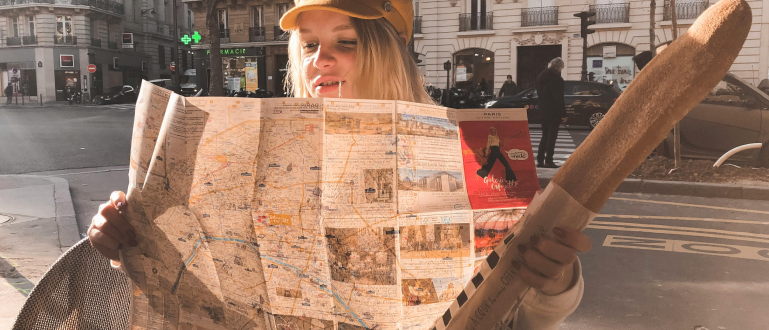
Traveling to a new country is exciting—but getting around unfamiliar places can be daunting, especially with language barriers and different transportation systems. Whether you’re exploring vibrant cities or remote villages, knowing how to use maps effectively can make your journey smoother, safer, and more enjoyable. Here’s a practical guide covering the best ways to navigate […]
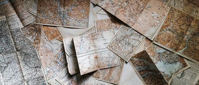
Cartography, the art and science of mapmaking, has come a long way since humans first attempted to understand and represent their surroundings. From primitive carvings on cave walls to sophisticated digital mapping technologies, the evolution of cartography mirrors our ongoing quest to explore, comprehend, and navigate the world around us. Early Beginnings: Mapping the Known […]
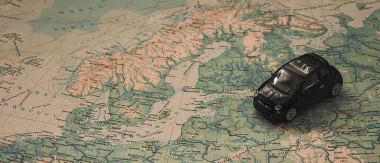
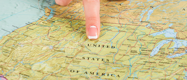
In an age where technology has redefined how we explore the world, one thing remains constant: maps are a traveller’s best friend. From planning a cross-country road trip to navigating a hidden alley in an old European town, maps play a vital role in enhancing the travel experience. Whether you’re carrying a paper map in […]