
Traveling Without Borders: Political Maps Explained
In a world increasingly shaped by geopolitics, political maps provide more than just a glance at national boundaries—they tell a story of history, power, and identity. Whether you’re a globe-trotting traveler, a student of world affairs, or someone simply curious about international relations, understanding political maps is key to navigating both geography and global dynamics.
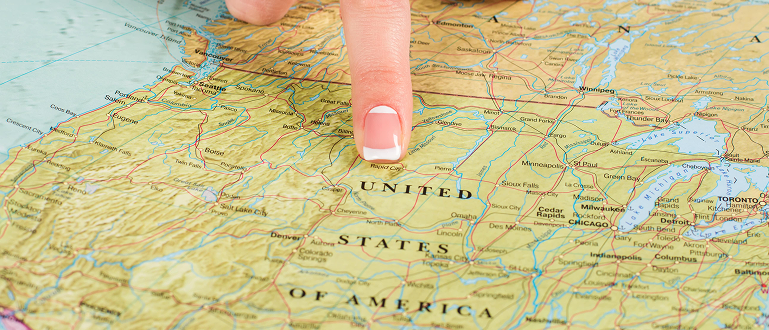
What Are Political Maps?
While physical maps highlight natural elements such as mountains, rivers, and deserts, political maps concentrate on boundaries and divisions created by people. These maps highlight countries, states, cities, and territories, clearly illustrating borders and frequently featuring capital cities and major infrastructure.
A political map doesn’t show what the land looks like; instead, it represents how people have divided it based on governance and sovereignty. They’re essential tools in education, diplomacy, and even travel planning.
Why Political Maps Matter
Political maps are important for several reasons. First and foremost, they reflect how the world is organized. They help us understand who governs what area, where conflicts may arise, and why certain regions are politically sensitive. From disputed territories to newly recognized nations, political maps are constantly evolving to reflect world events.
For travelers, political maps are useful guides to understanding visa requirements, crossing points, and regional laws. For instance, knowing the difference between the European Union and the Schengen Area—two different political and travel-related zones in Europe—can save a traveler time and confusion.
Politics and Perception
It’s important to remember that political maps are not always neutral. The way a map is drawn can reflect particular political viewpoints. This subjective nature means that political maps can shape how we view the world. They can influence public opinion, diplomatic relations, and even education. Understanding this helps map readers remain critical and informed observers of global affairs.
Traveling Without Borders—A Growing Idea
Despite the clear divisions shown on political maps, the modern era of globalization is challenging the idea of borders altogether. Open-border policies within the European Union and digital nomad visas in countries around the world are encouraging more fluid movement of people.
Political maps may show boundaries, but on-the-ground experiences can often tell a different story. In regions with free trade agreements or shared history, people move, work, and live across borders with relative ease. In this sense, while political maps show divisions, they also highlight the growing contrast between legal borders and cultural or economic unity.
The Future of Political Maps
As the world changes, so will political maps. Shifting alliances, independence movements, climate migration, and technological progress all promise to redraw the lines on our maps. Digital mapping tools are already making it possible to customize political maps in real-time, offering updates based on the latest global events.
Conclusion
Political maps are more than charts of lines and names—they offer insights into human society, governance, and conflict. They remind us of our divisions, but they also invite us to look beyond borders and consider the shared spaces we all inhabit. Whether you’re researching global news, planning to travel abroad, or just curious about the world, understanding political maps can help you see the world more clearly—and maybe even imagine a future with fewer boundaries.